Cloud Horizon
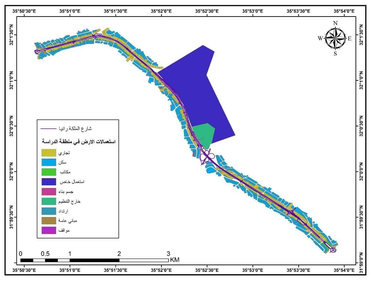
Commercial floor use on Queen Rania Street
Organization: Institut français du Proche-Orient (Ifpo)
About the Project
Commercial floor use on Queen Rania Street project assessed pollution sources along the 118.5 km Zarqa River and within a 10 km buffer on both sides, using GIS tools, field surveys, and digital data.
Sites such as factories, landfills, scrapyards, wastewater plants, and farms were identified and classified according to waste type, proximity to the river and residential areas, and impact intensity.
Data was processed in ArcGIS Pro and integrated with metadata from Excel to build a spatial database, then published as static maps (PDF/IMG) and an interactive ArcGIS Online map.
The project provides a practical tool for visualizing and monitoring pollution hotspots, supporting informed decision-making for environmental management in one of Jordan’s most pressured basins.
-
Date
17 May 2018
-
Client Name
University Of Jordan